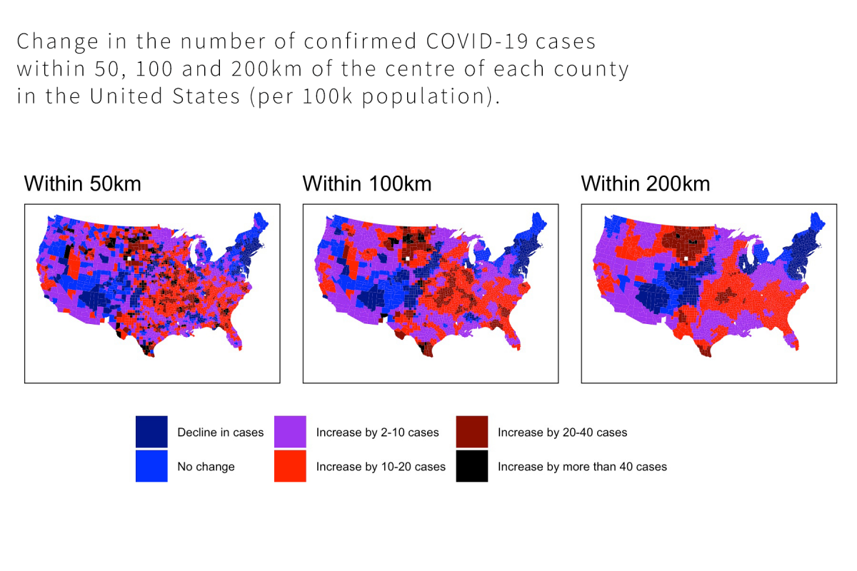
Designed for the applied users of R, this master-class will show you how to access spatial data from a number of sources, match this with geographic shape files, analyse spatial patterns, link these data to information from surveys, and create interactive maps to highlight important findings.
This course will be run over 2 days in three sessions per day:
- 9.30 am - 11.30 am - Session 1
- 12.00 pm - 1.30 pm - Session 2
- 2.30 pm - 4.30 pm - Session 3
This course is being held online via Zoom and run on Australian Eastern Standard Time (GMT +10)

- Teacher: Shaun Ratcliff